

Slow Pyrenees
Hiking the Vall de Benasque - 16 September 2023

Thus far my Slow Pyrenees sojourns have focused entirely on the Catalan massif, particularly the mountains north of Lleida which are easily accessible by car and, in the summer, public transport. But it’s not just practicalities and logistics that have dictated this geographical decision, it’s a desire to get to know the landscapes intimately so that, over time, I become familiar with every rock, nook and cranny and how it changes, from season to season, between morning, afternoon and evening. I’m currently working on a proposal for a project which would allow me to spend more time doing just that, but more of that anon.
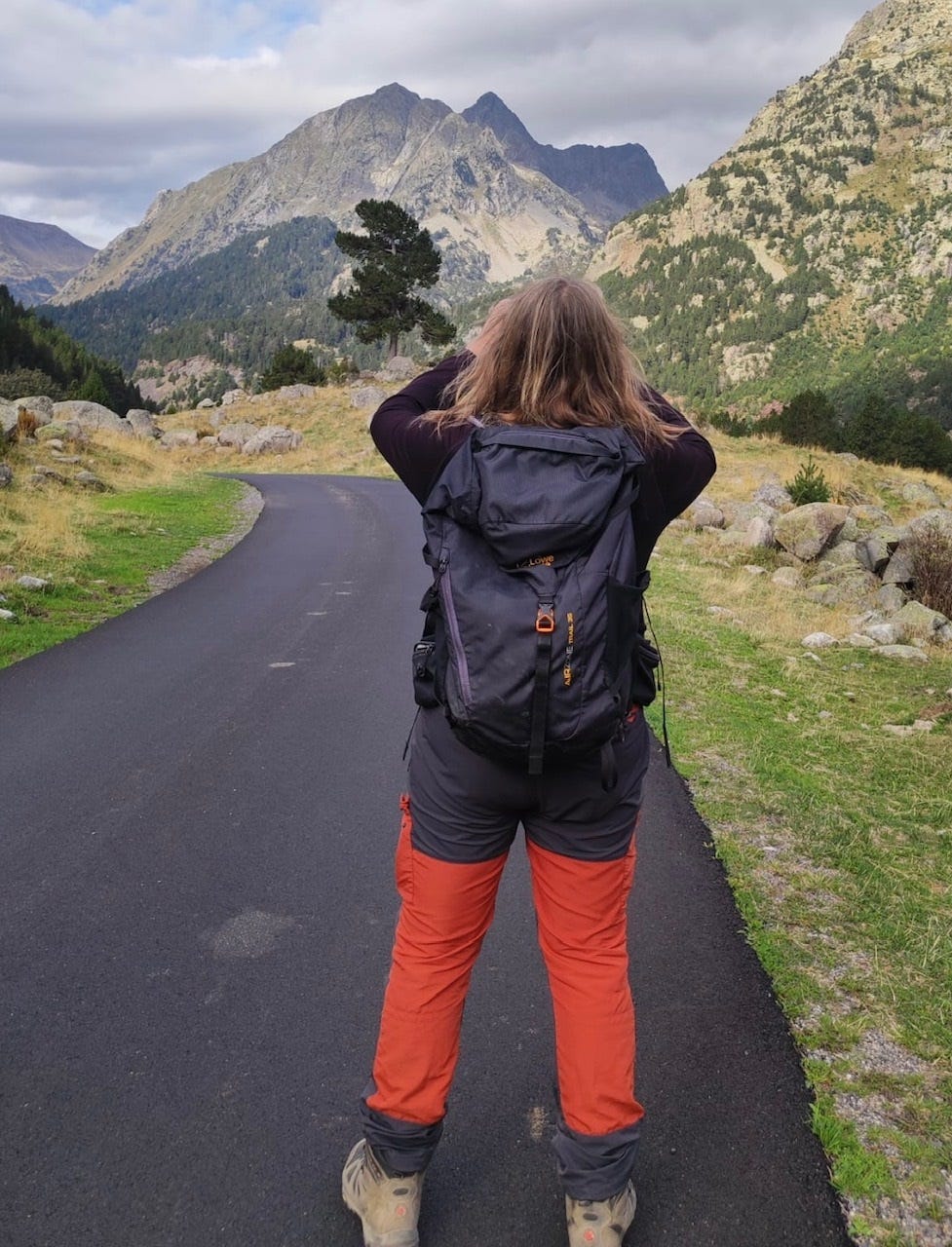
Both Katy, my landlady, and I have been worn-down by the demands of study and examining so when she suggested a day in the mountains I immediately responded in the affirmative and booked a car from my good friends at the Lleida railway station branch of Alamo Car Hire (which Slow Pyrenees highly recommends). For better or worse, Katy left the decision-making to me. I suspect she thinks I’m an expert, others, perhaps including the Catalan mountain rescue service, might beg to differ. For a while I’ve been a little obsessed by the scattering of rapidly retreating Pyrenean glaciers. In the absence, until December, of fields of fire (volcanoes) I’ve swung to the other extreme, flows of ice.

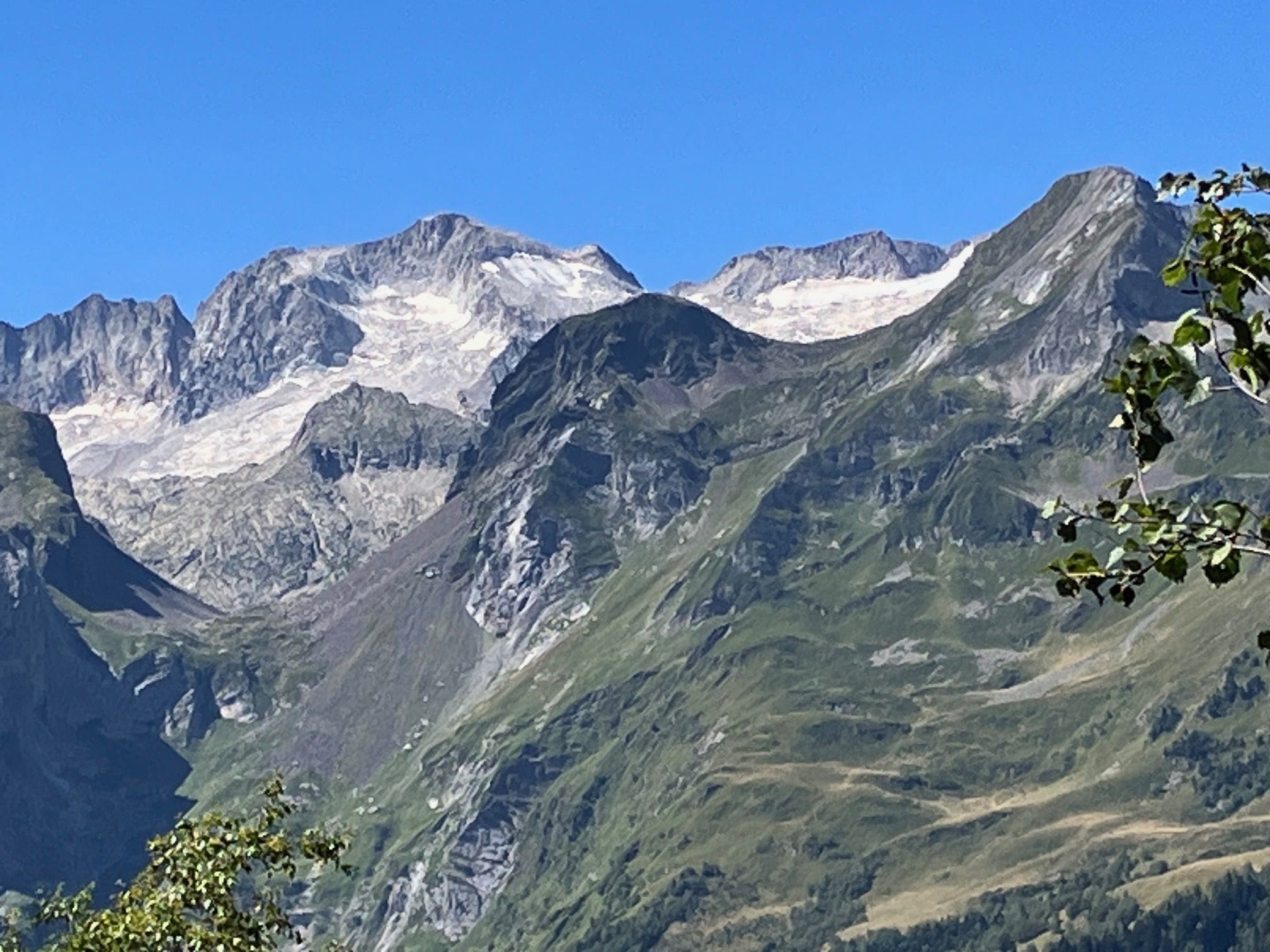
Hiking the valley of Artiga de Lin in the Val de Aran a few weeks ago I happened upon some cracking vistas of the Aneto/Maladeta massif. On the upper, north facing slopes, a petechial rash of ice stood out against the gun-metal grey rock and cloudless skies of deep azure. In the heat of high summer the presence of the cryosphere so close to the Mediterranean seems utterly implausible, given the current rate of climate change it increasingly is. As I move towards the end of my sixth decade on this earth, it’s touch and go as to who will pop their clogs first, the glaciers or me.
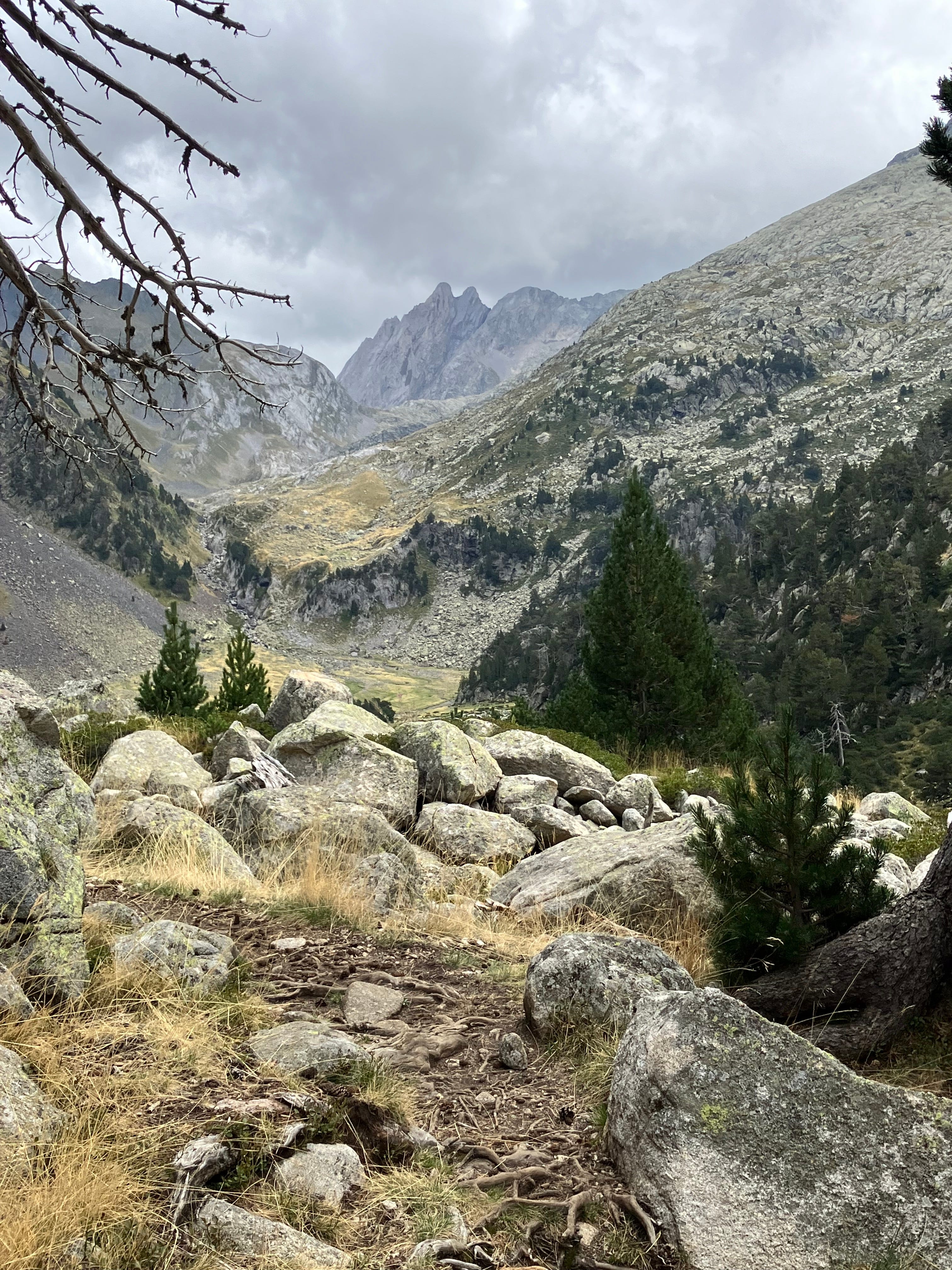
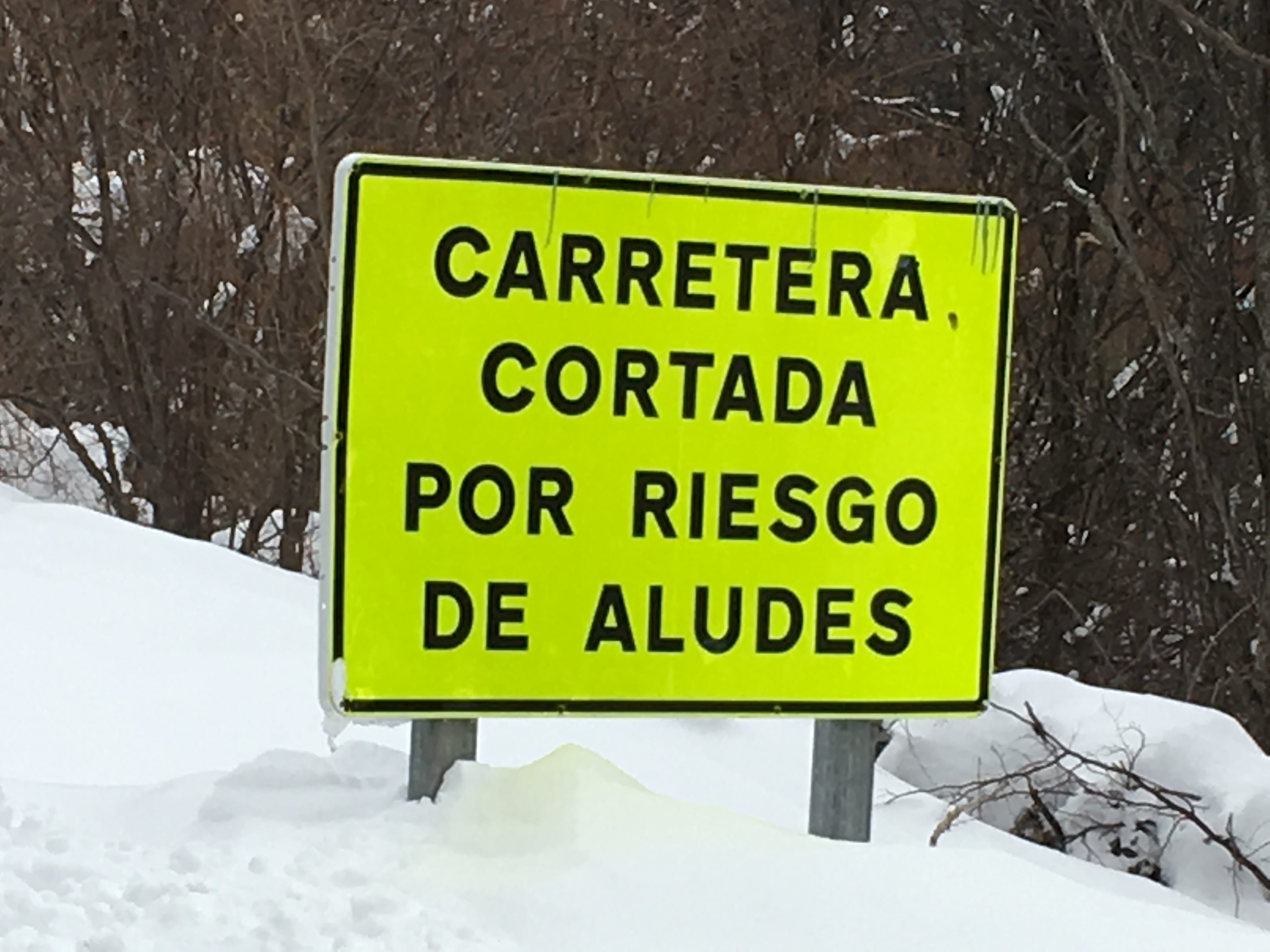
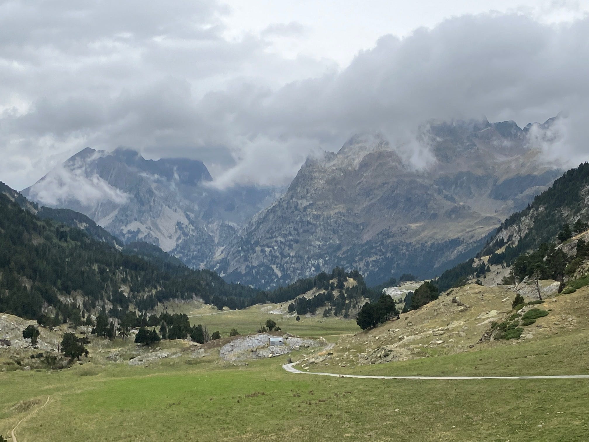
Enough of the melancholy, we come to praise the Pyrenean landscape, not mourn its demise. I’m a girt, humungeous fan of perspectives so I proposed a trip to the other side of Aneto, a rare incursion into Aragon. I was last in the Vall de Benasque in January 2019 when access was barred by deep drifts of snow and the threat of avalanches. Four and a half years later, with autumn creeping up on summer’s shoulder, conditions were more far more amenable for ambulatory excursions, with just the threat of afternoon rain to contend with.
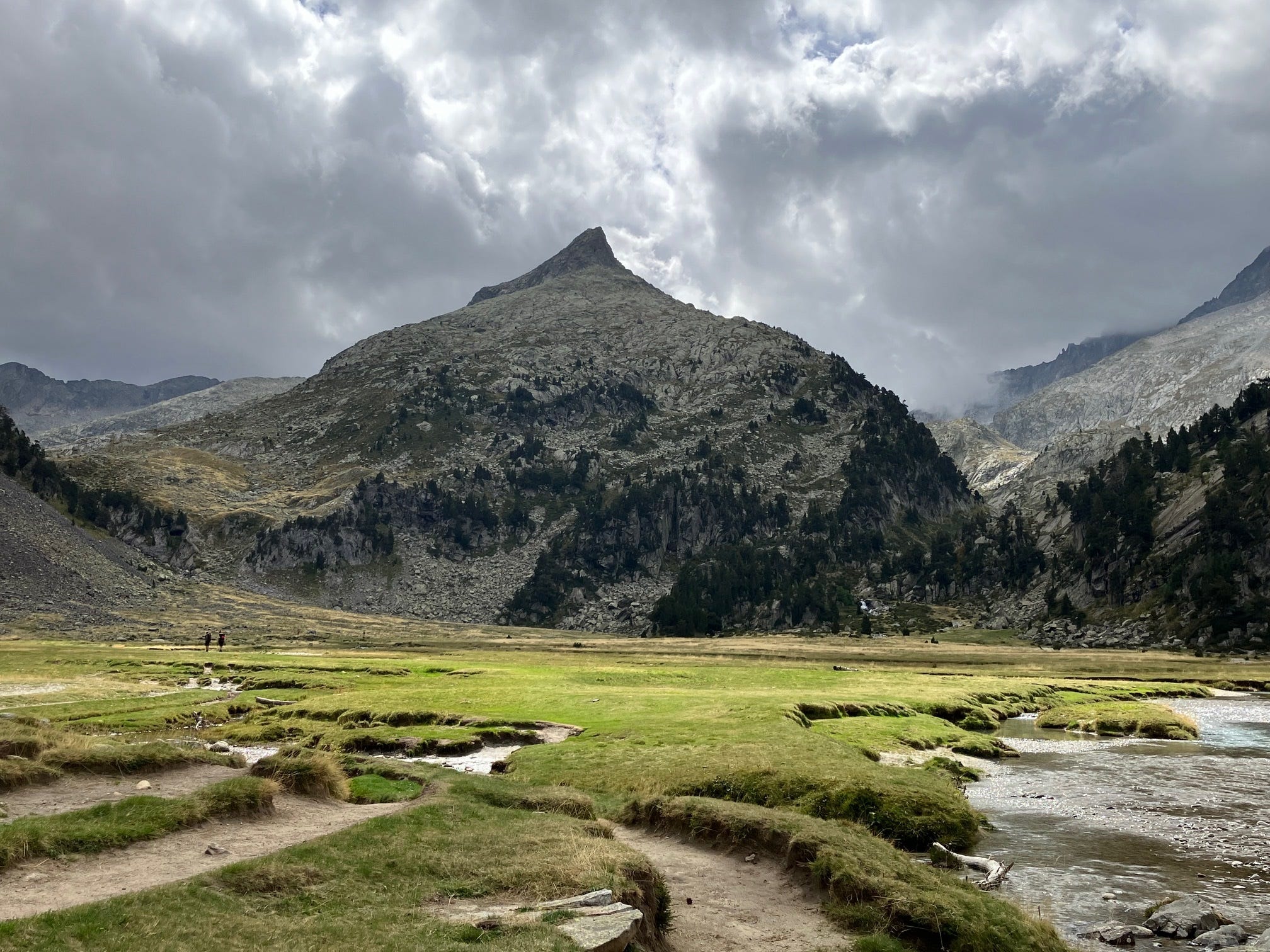
An asphalt track runs the length of the valley, as far as as the Cabaña de Besurta, along which a bus service operates between April and October as private cars are prohibited. Today’s scattering of senderistas was sparse but we eschewed the convenience of public transport and starting trudging the tarmac, keeping our eyes peeled for marmots, which Katy had never seen before. From the Cabaña de Besurta it’s a relatively gentle 200m ascent along a well-managed path to the first cascade of the day, the Forau d’Aigaullut.

I know, I know. You’ve seen one Pyrenean waterfall, you’ve seen ‘em all. You join your fellow senderistas gazing into the brink and think no more of it. Unless, of course, your fellow senderistas include a zealous geographer on a one-person mission to proselytise the joys of geomorphology to the unfortunate unbelievers who assume, quite reasonably, that the water tumbling over the lithic labyrinth is the same water that flows along the watercourse of the Rio Esera, by whose banks they strolled an hour earlier.
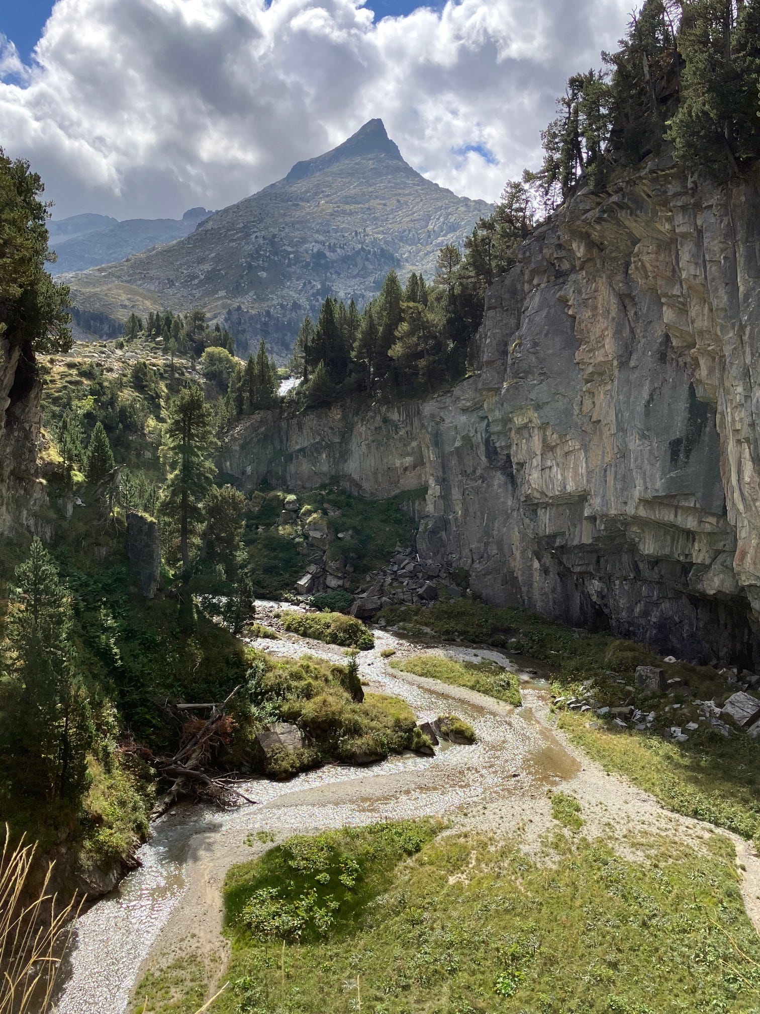
And this, esteemed followers, is why you should never, ever, venture into the great outdoors without a learned lover of landscape by your side. There was no escape for poor Katy who had to endure a mercifully brief lecture in karst hydrology as your correspondent explained the the gorge downstream of the Forau d’Aiguallut was a doline, a collapsed cavern caused by the dissolution of overlying limestone by a subterranean stream. Not only that, but the some of the waters tumbling through the rocks, meltwater from the Aneto glacier (the largest in the Pyrenees) do not join the Rio Esera but in fact disappear deep into the earth, surfacing some 4km north east at the Uelhs deth Joeu (‘Eyes of Jupiter’) cascade in the Artiga de Lin. Those waters will join the Garonne River in France and flow into the Atlantic near Bordeaux.

With the lecture duly delivered, Katy and I continued our hike up to and across the Plan d’Aiguallut, a substantial, intermontane plain surronded by needle-sharp peaks that have rarely been disturbed by human incursion. An attempt to surmount the 2284m Collado de la Renclusa had to be aborted due the steepness of the path and the lateness of the day.
Back on the plain Katy got her revenge by persuading me to ford a river channel, which I did de-socked but still booted. Fortunately there exists no photographical record of this ignominy, she enjoyed the return hike with dry feet, I squelched my way back to the car park where, with impeccable timing, we conveniently arrived as rain clouds swept up the valley.
Scores on the Doors: 10km, 400m of up, 400m of down.
Great writing, I am most jealous.